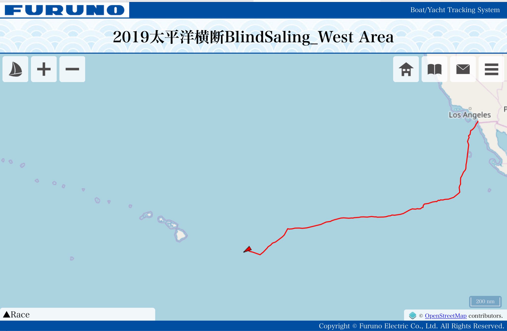
Dream Weaver current location on March 14th, Japan Time
17.7567 N. 146.941 W
Course 229° True, Boat speed: 6.4kts.
Report from Doug
Wind veered as much as 120 this afternoon. I am not sure why we wouldn’t just go on around 220 course to about 16N and then just turn west and not worry about wind shadow and get further from cold front. Also trade winds seem more consistent there. Perhaps I am missing something.
ダグからの報告
午後に風向きが急に120°程変わりました。なぜ220°のコースで北緯16度まで行って西に進まないのかわかりません。そうすればウィンドシャドーの心配なく前線からも離れます。またその辺りの方が貿易風も安定してるように思います。
きっと自分が何か考慮すべき点が欠けているからそう思うだけなんだろうか。(現在、逐一入る気象ルートアドバイザーの提案を受けてルートを取っています。)
Summary:
1) I see you are on port gybe heading for 16 57n/146 24w
2) Not much change in wind direction until Sun
a) ideally I like to be on port gybe when winds are clocking/veering and on starboard when winds are backing, but not much change in wind direction the next 5 days
b) the Big Island can cause wind shadows as far as 60-75 miles downwind
c) there will be a cold front moving thru the Hawaiian Islands late Sat night or Sun – we will see backing winds at some time Sun or Mon and then starboard is very favored
3) NE/ENE winds will increase a bit more during the next 12-18 hours
a) watch out for a squall/shower with gusts as high as 30-40 kts – squalls are strongest and most widespread late at night/around daybreak
b) wind directions may clock/veer a little Tue morning into Tue night – this favors port gybe, BUT
4) We will need to go to starboard gybe at some point in time and I prefer to gybe during daylight, so I have you gybing to starboard late Tue afternoon
5) Wind speeds will be a bit lighter everywhere Wed and a little lighter still on Thu
6) We will need a 24-36 hour period on port gybe to avoid the wind shadows downwind of the Big Island – I have us going to port Thu afternoon
7) Fri sunset or Sat morning, we will want to go onto starboard to meet and set up for the cold front and backing wind directions
Next update Sat, March 16th
Wind forecast
Time is UTC: Wind directions are TRUE / wind speed in kts
Mon, Mar 11
18: 050-070/21-27
Weather…Clouds and sunshine with a scattering of showers and maybe a squall or 2 Mon and Tue. Strongest and most widespread activity late at night/around daybreak. NE/ENE seas up to 8-11 feet
Tue, Mar 12
00: 050-070/22-28
06: 050-070/24-30
12: 060-080/18-26, gust/squall 30-40, estimating you near 18 05n/144 10w
18: 060-080/20-25
Wed, Mar 13
00: 060-080/17-22 to starboard before sunset
06: 060-080/17-23
12: 050-070/17-22, near 17 45n/147 30w
18: 050-070/17-23
Weather…Partly cloudy Wed-Fri with a shower/squall possible, especially around or just before daybreak. NE/ENE seas 6-9 feet
Thu, Mar 14
00: 050-070/15-20
06: 050-070/17-23
12: 050-070/17-23, near 18 45n/150 50w
18: 050-070/15-20, looking for a righty – must go to port before reaching the Big Island’s wind shadow
Fri, Mar 15
00: 050-070/13-18, must be on port by now!
06: 050-070/15-20
12: 060-080/16-22, near 18n/154w
18: 060-080/17-22
Sat, Mar 16
00: 050-070/15-20
06: 050-070/15-20, onto starboard when we clear the Big Island
12: 050-070/14-18
18: 060-080/12-17
Weather…Partly to mostly cloudy. Increasing threat of showers/squalls Sat night and Sun. NE seas 4-7 feet, but some NW-N swell arriving as the cold front approaches

Thankss great blog post
LikeLike